
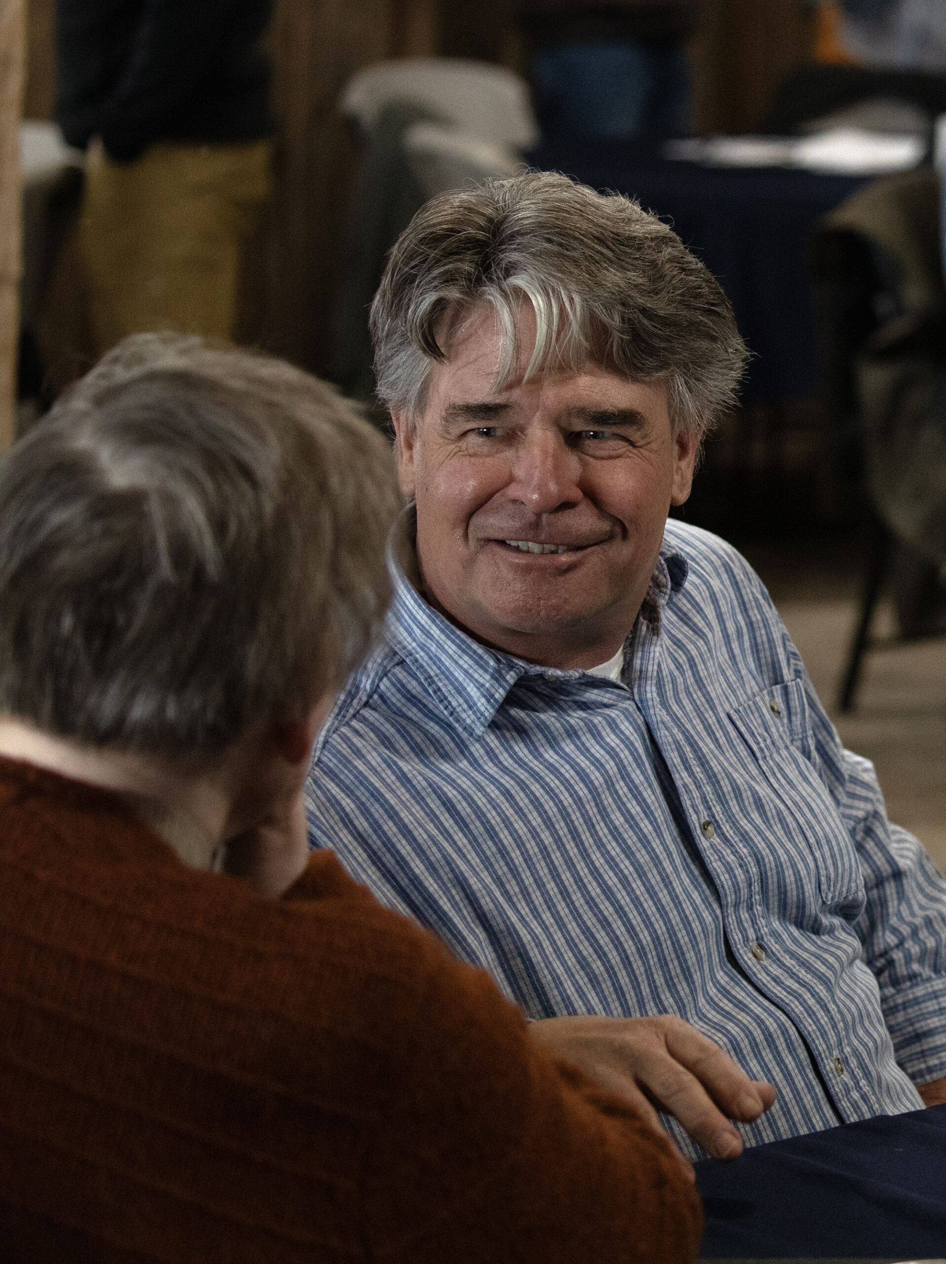
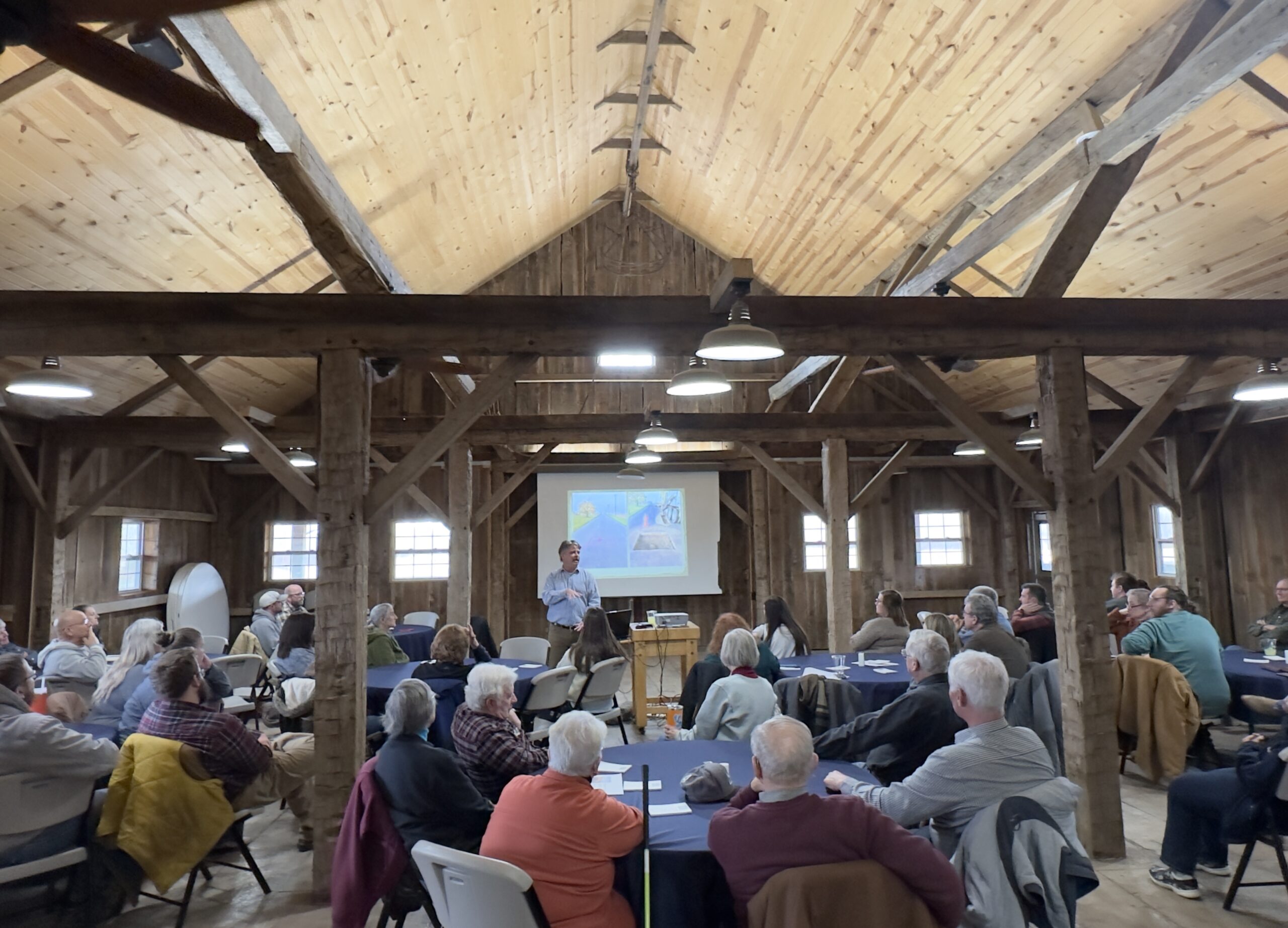
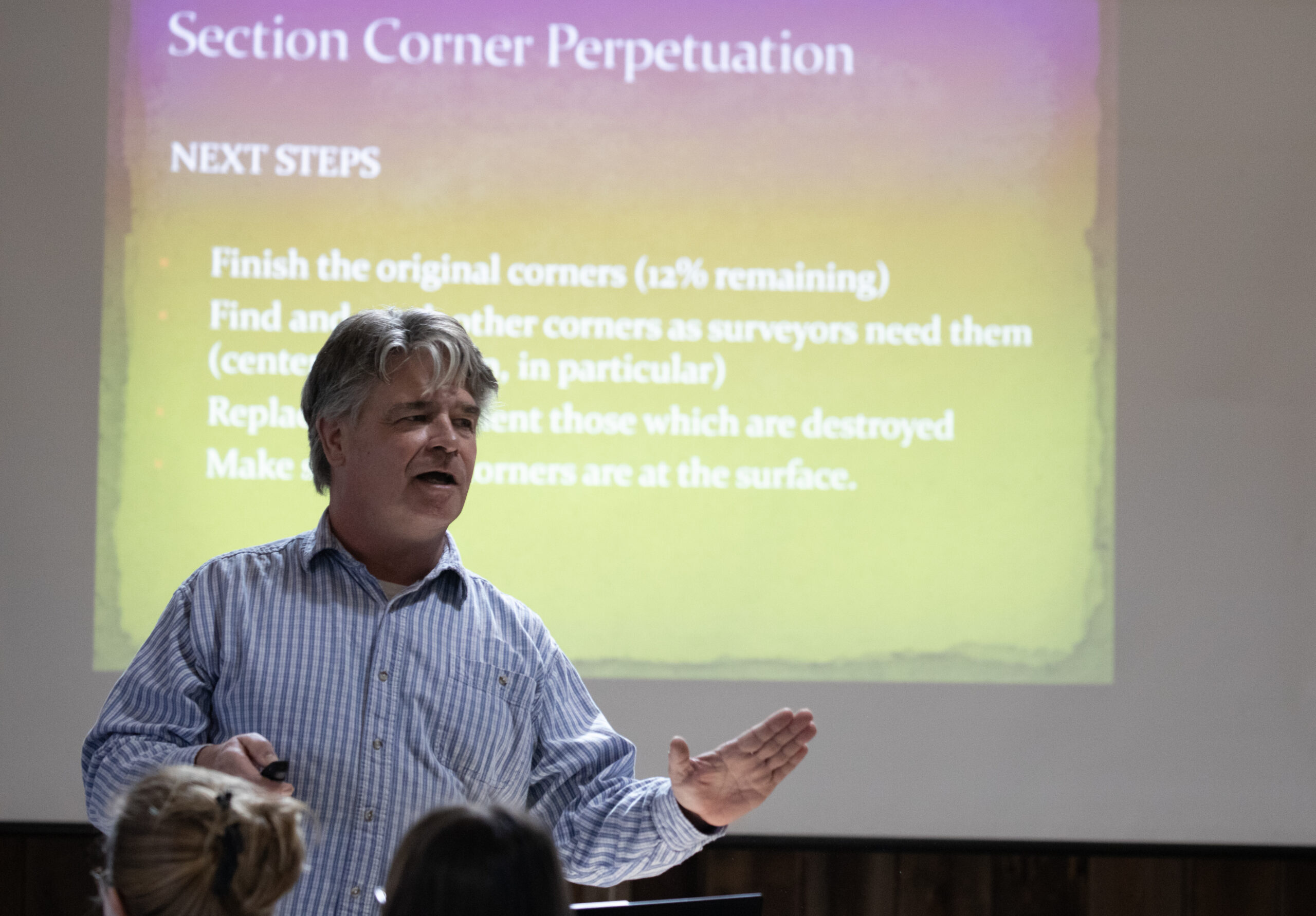
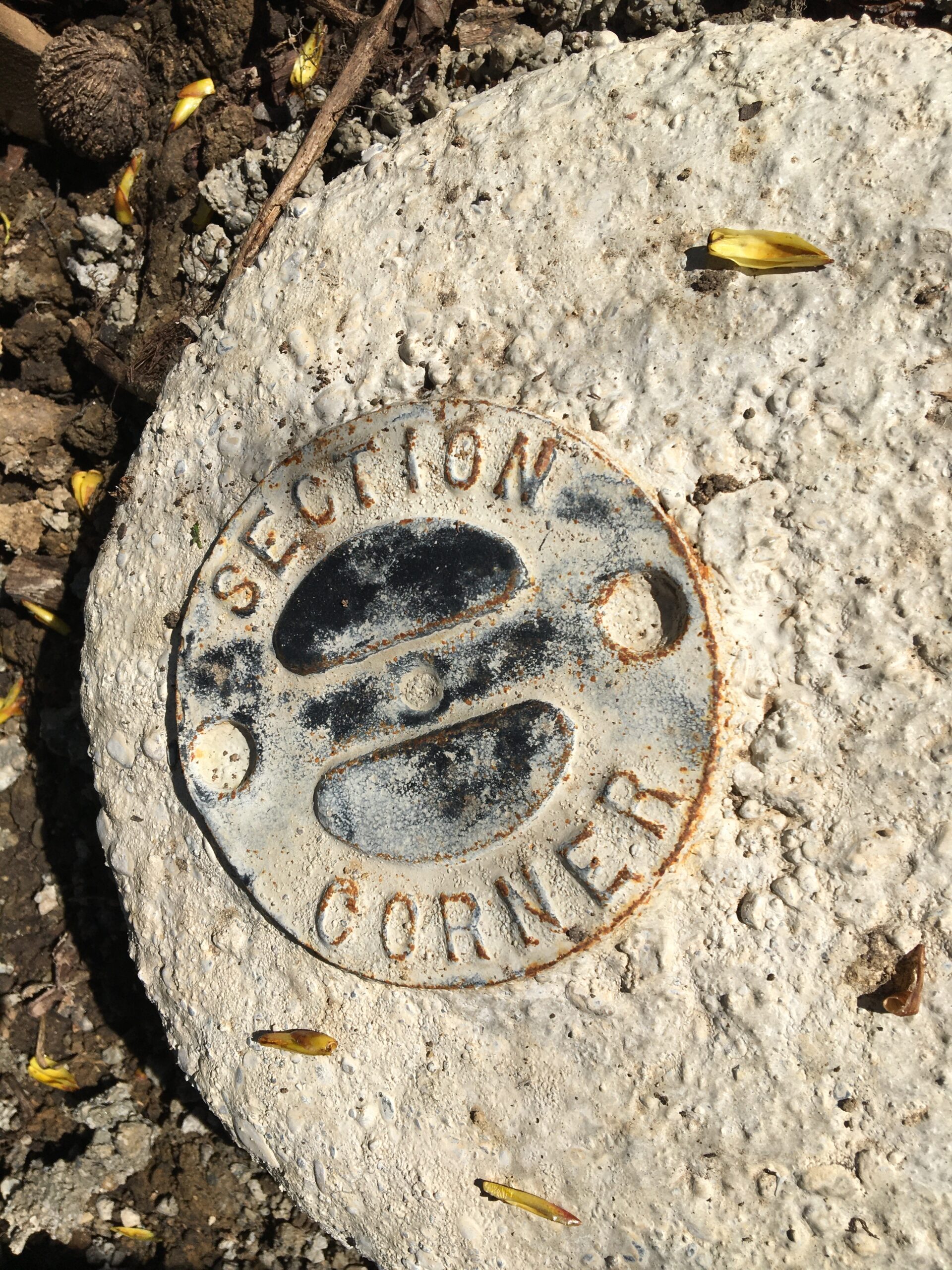
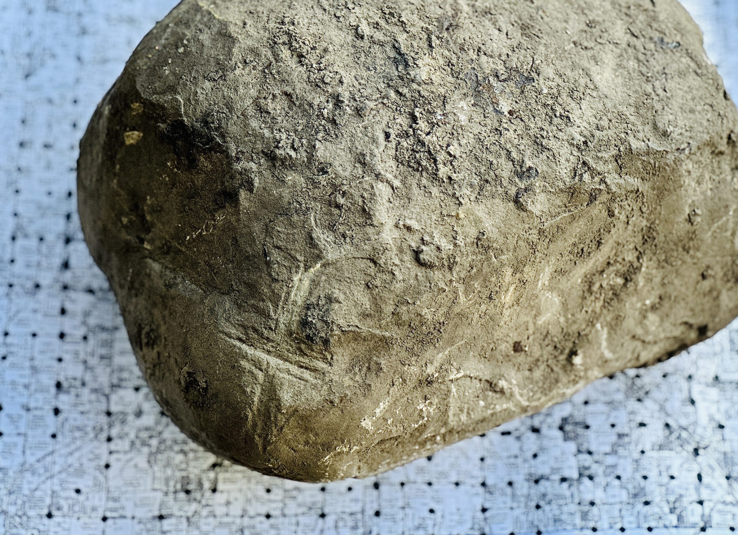
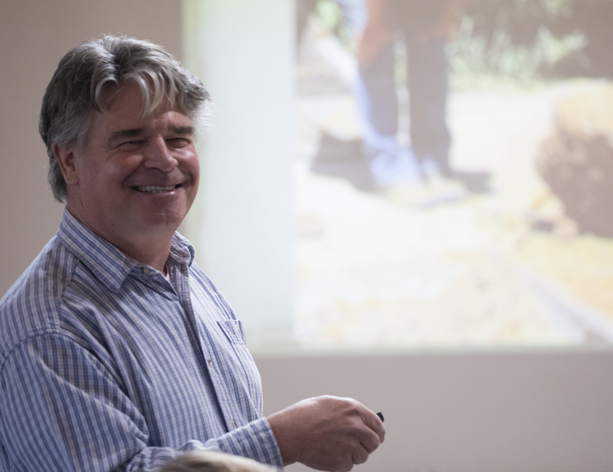
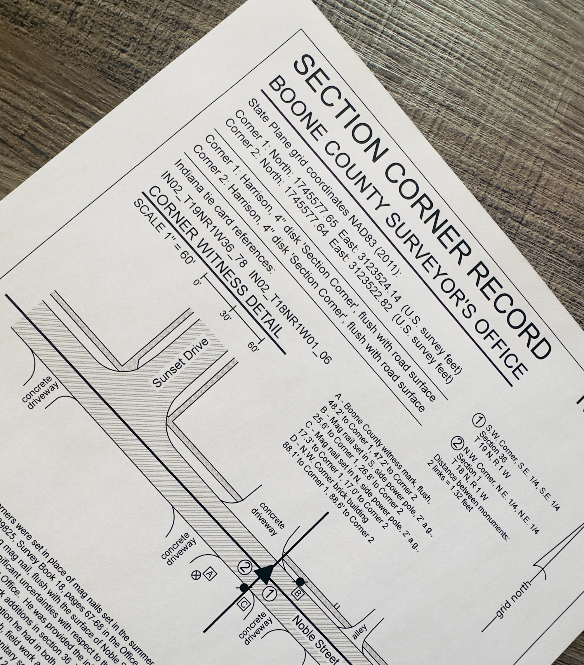
Stone Hunter
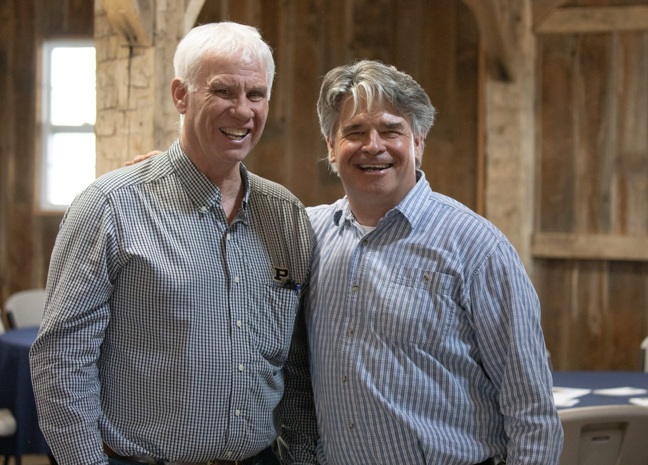
Jim kept folks at the 2025 Boone County Soil and Water Conservation District Annual Meeting entertained and learning as he talked about his adventures finding, excavating, permanently monumenting section cornerstones in the county.
On hand was now-retired Boone County Surveyor Kenny Hedge, who worked with Jim on the project, 10 years which Jim says were among his happiest as a surveyor.
Surveying merges some of Jim’s keenest interests—maps, math, history, engineering, solving problems, and getting to know people. You could see his passion for all of them. His dad was a college professor, and those teaching genes were on display too.
Who knew rocks could be so interesting? The pork chops at lunch were excellent, too.
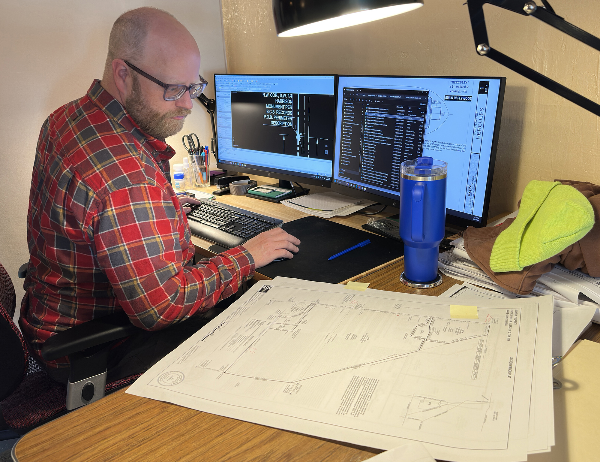
Getting It Right
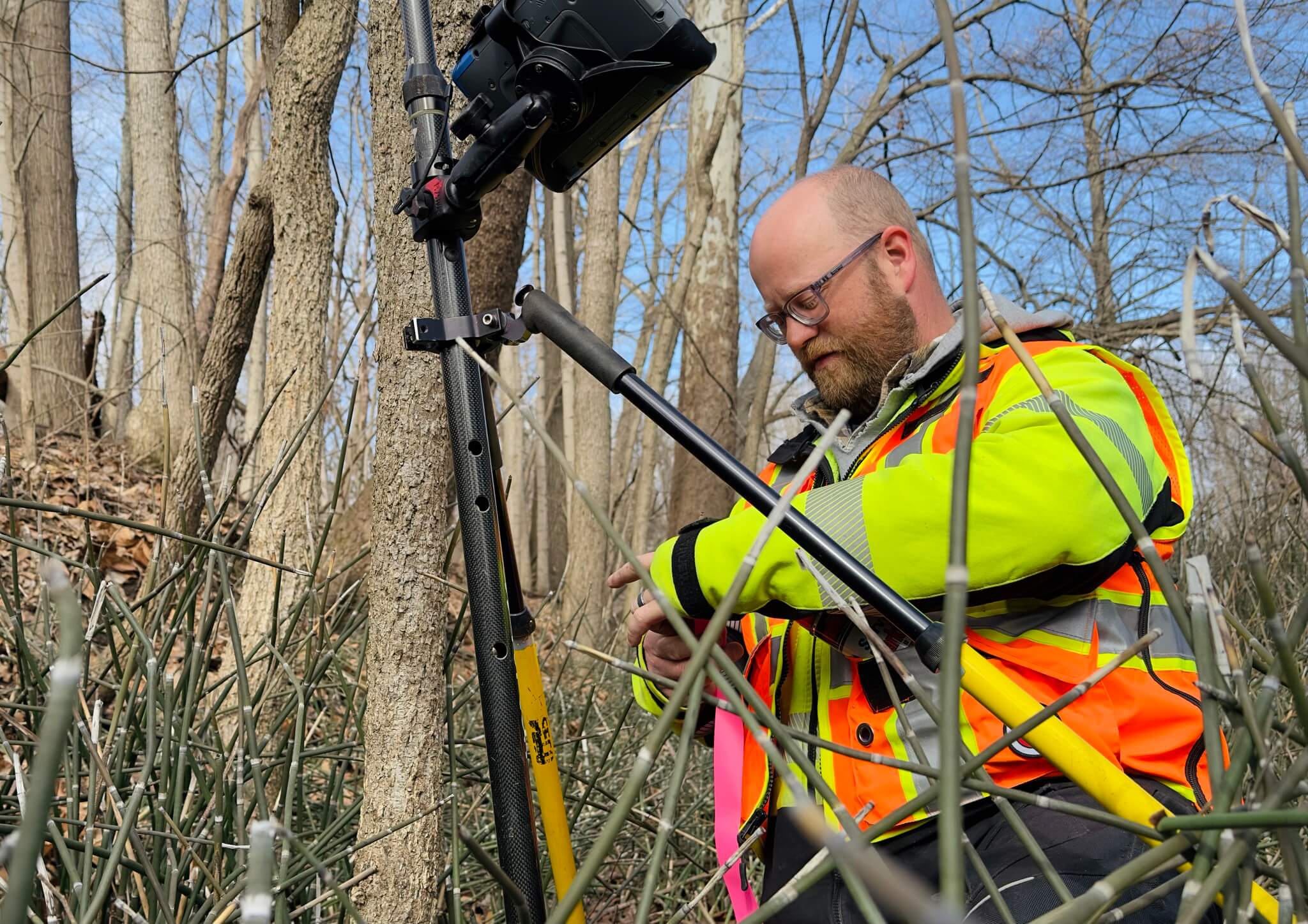
A land survey provides a precise legal definition of a property’s boundaries—it’s essential we get it right. Not only the drawing, bearings and distances and deeds of our client and adjoiners, but the description, surveyor’s report, and the small details that, if they’re wrong, could cost you big later on.
That’s why each survey at Swift Land Consulting goes through many drafts and multiple proofreading sessions with several readers who make sure the numbers are right and the language is precise and clear without mistakes.
Here Matt Hood makes corrections on a recently proofread draft of a survey he worked from research to the field to the final draft.
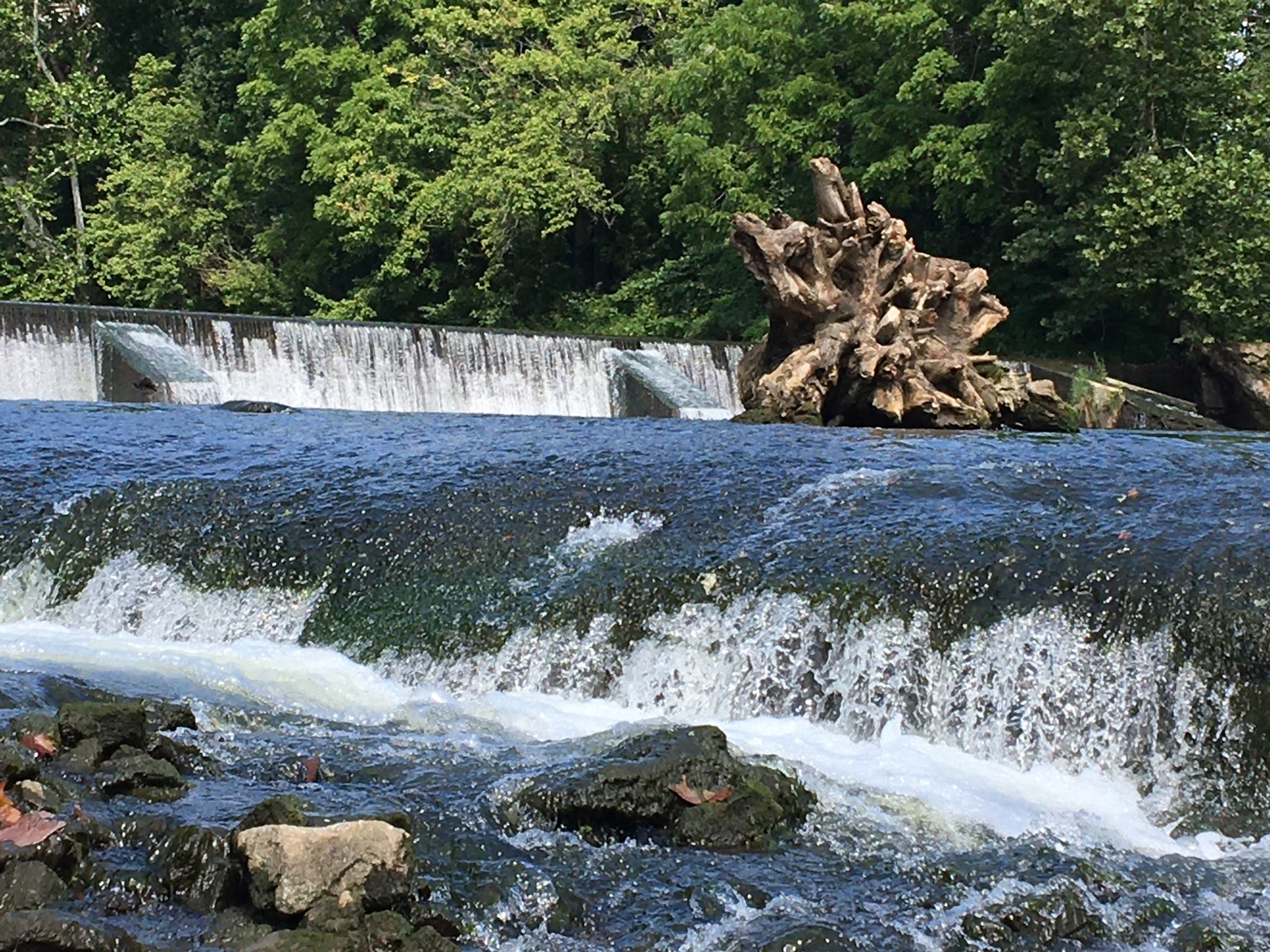
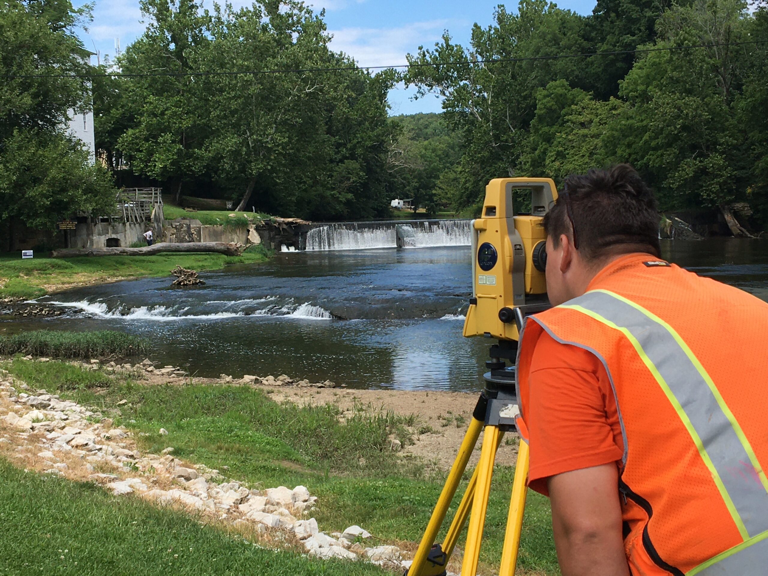
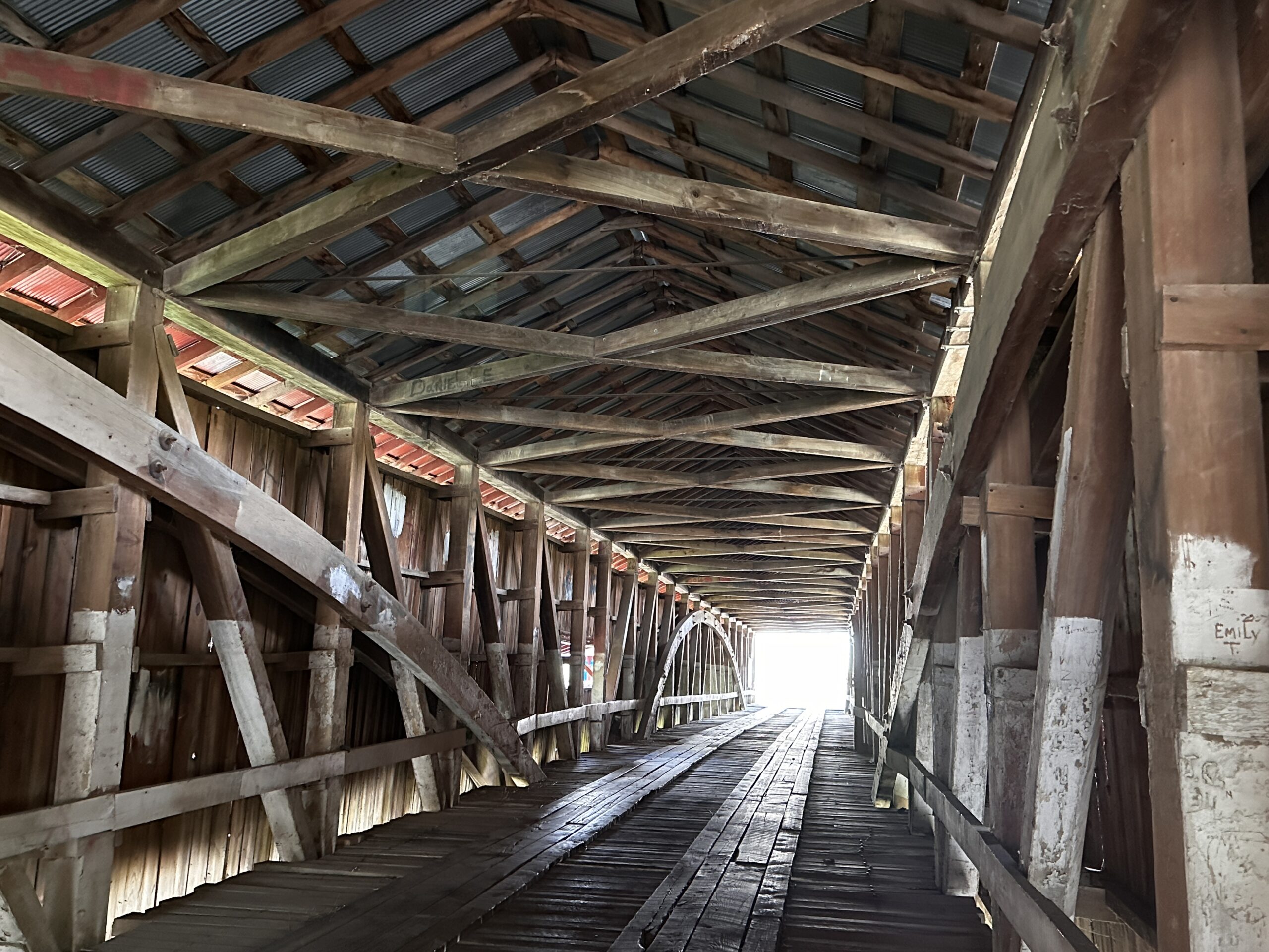
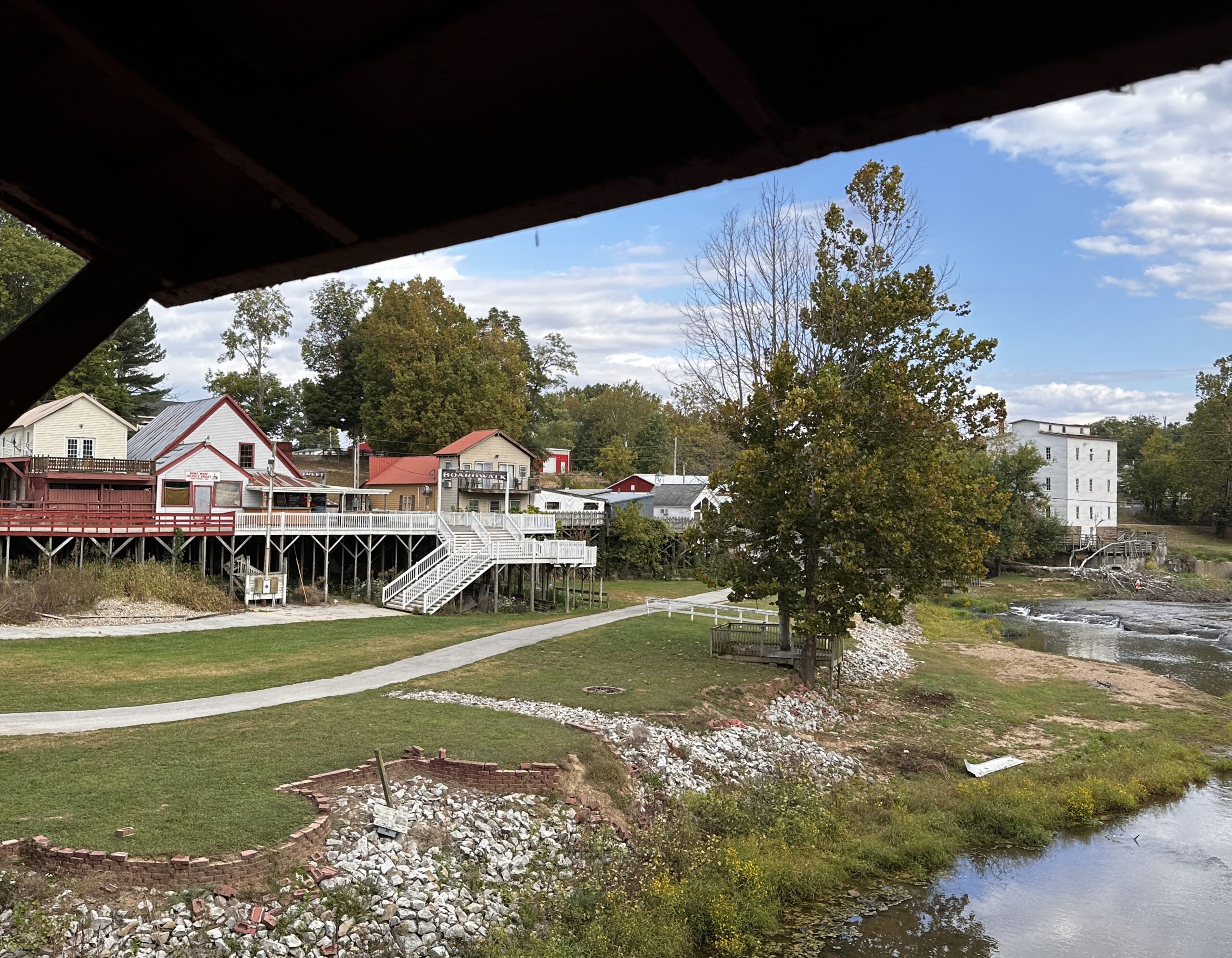
Mansfield: A Fascinating Mix
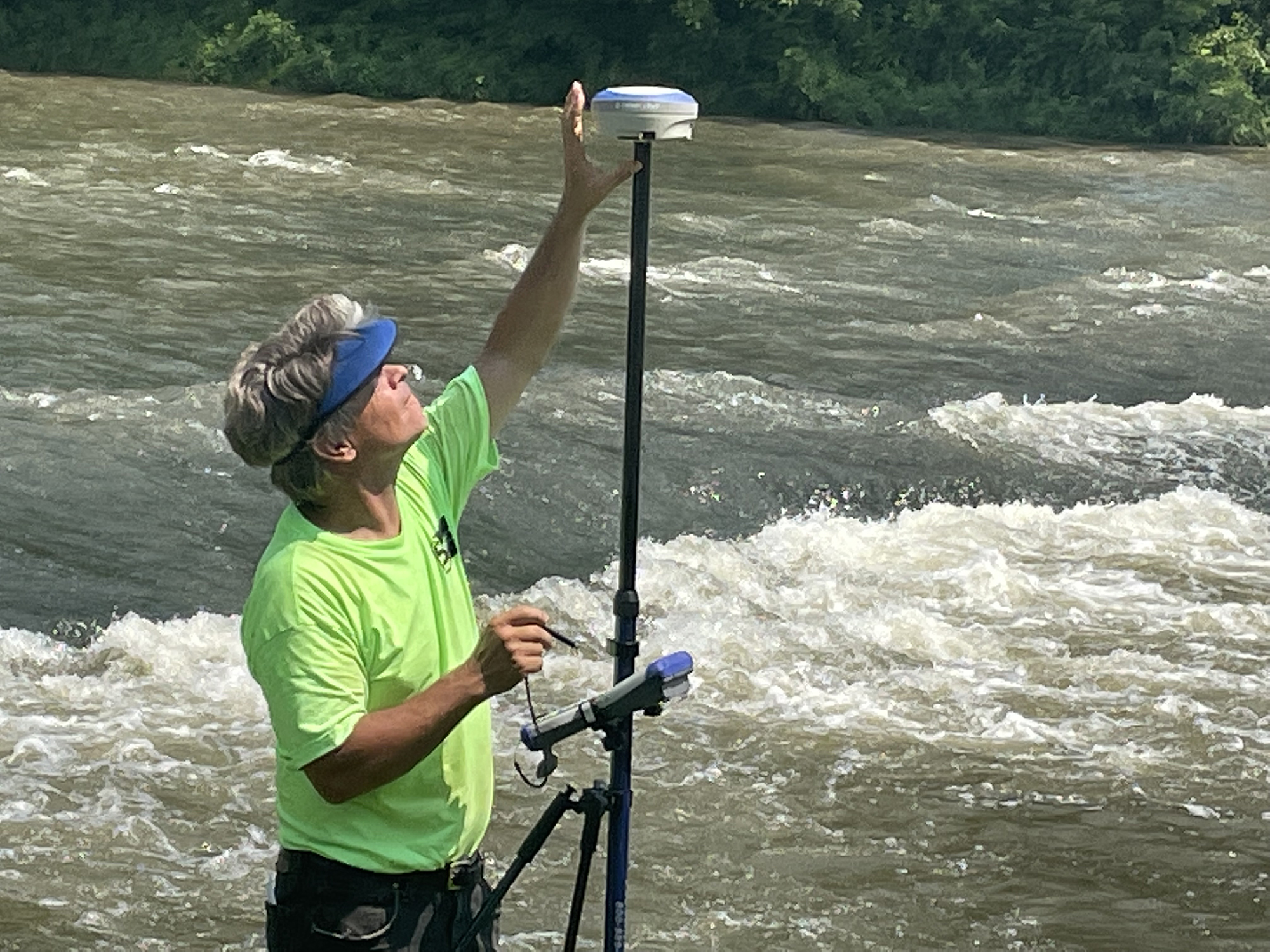
It may look like Jim’s surveying along some wild river in the West, but this is Mansfield, Indiana, one of the most interesting and picturesque surveys of our recent surveys our past five years.
With its old roller mill and covered bridge over Big Raccoon Creek, Mansfield (first called New Dublin when it was established in the 1820s) is packed with visitors during the Parke County Covered Bridge Festival, but sparsely populated and visited the rest of the year, unless you count all the butterflies, hawks, and woodpeckers we saw during our two days surveying there.
Even researching this one was fun, studying a fascinating mix of earlier surveys, the town’s plat book, and the Indiana Department of Natural Resources site where the mill is located.

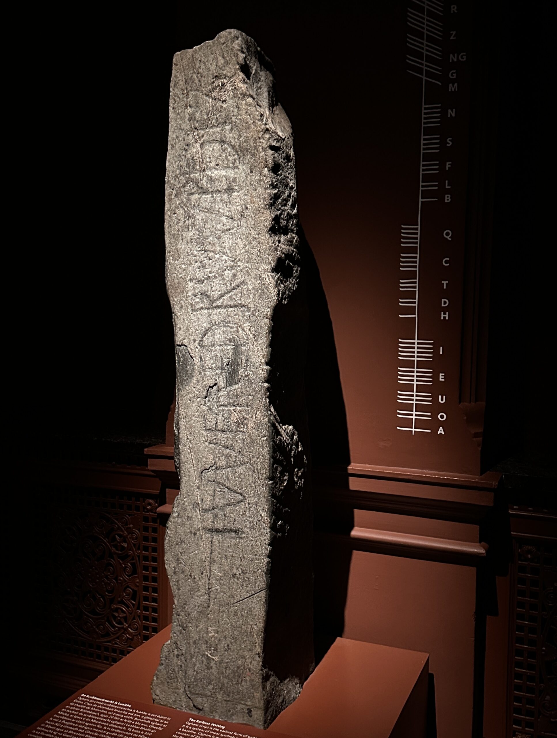
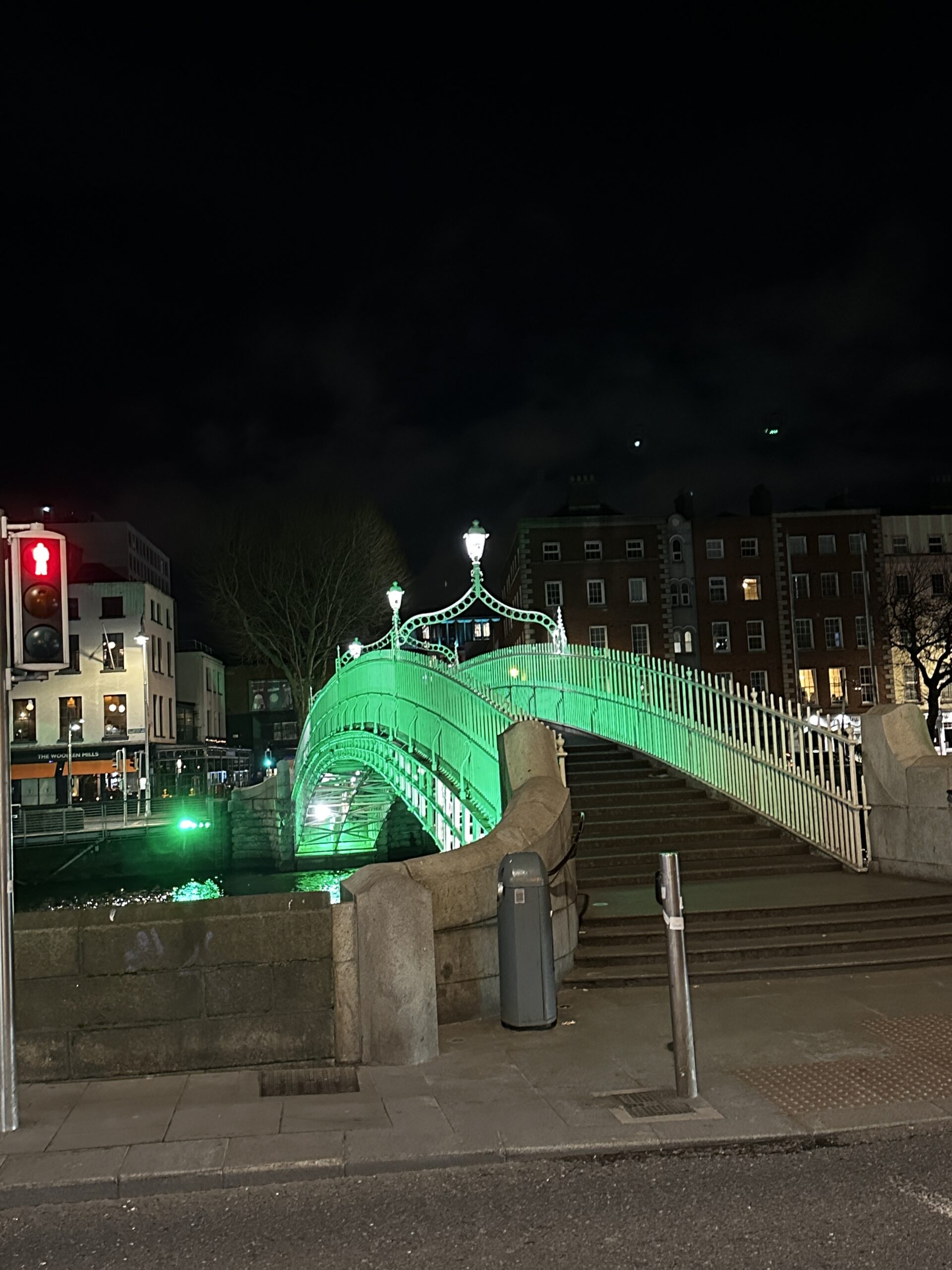
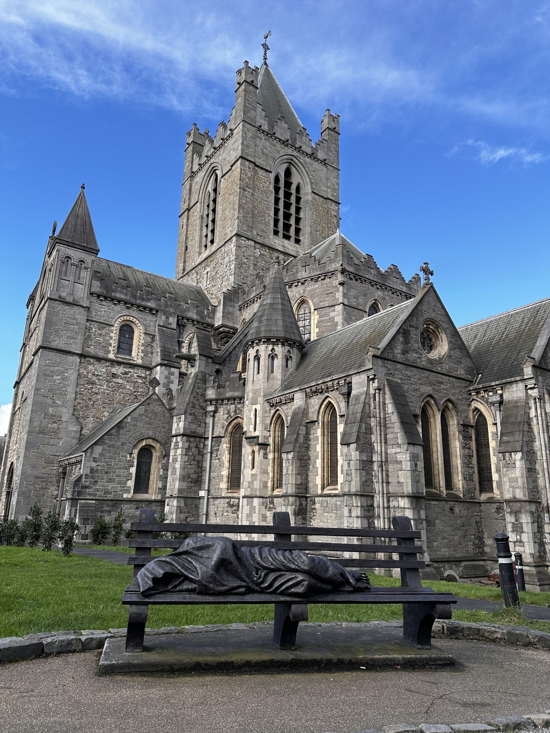
The Ogham Stone
In February 2024, the Swift Land Consulting team traveled to Ireland, site of the first-ever detailed land survey on a national scale anywhere in the world (that would be the Down Survey, 1656-1658).
The Ogham Stone in the large photo in the gallery below pre-dates that survey by about 1,000 years. The stones marked important sites and, possibly, boundaries. Predecessors of today’s survey monuments! They’re called Ogham Stones because they’re inscribed in Ogham, the earliest written form of the Irish language.
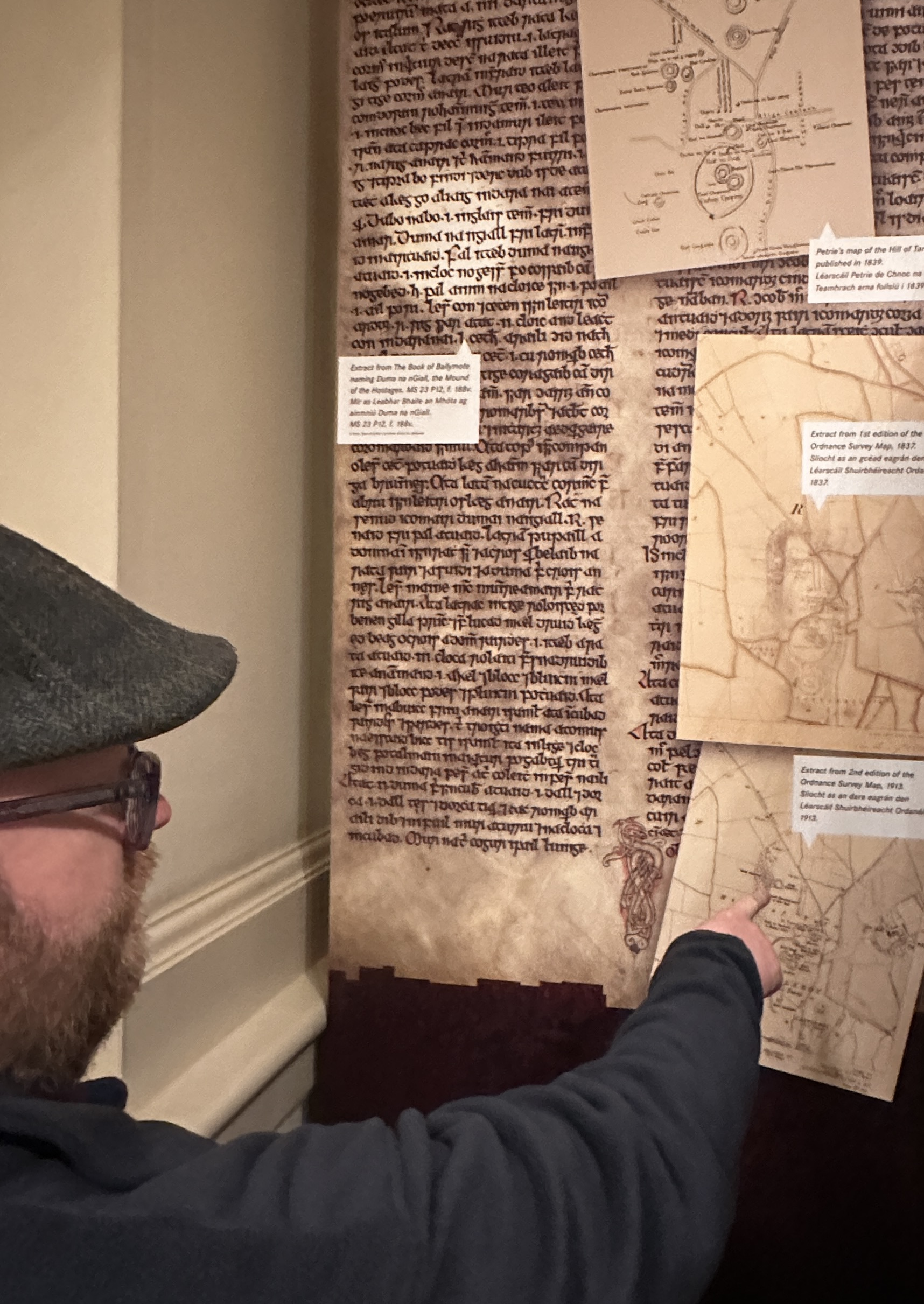
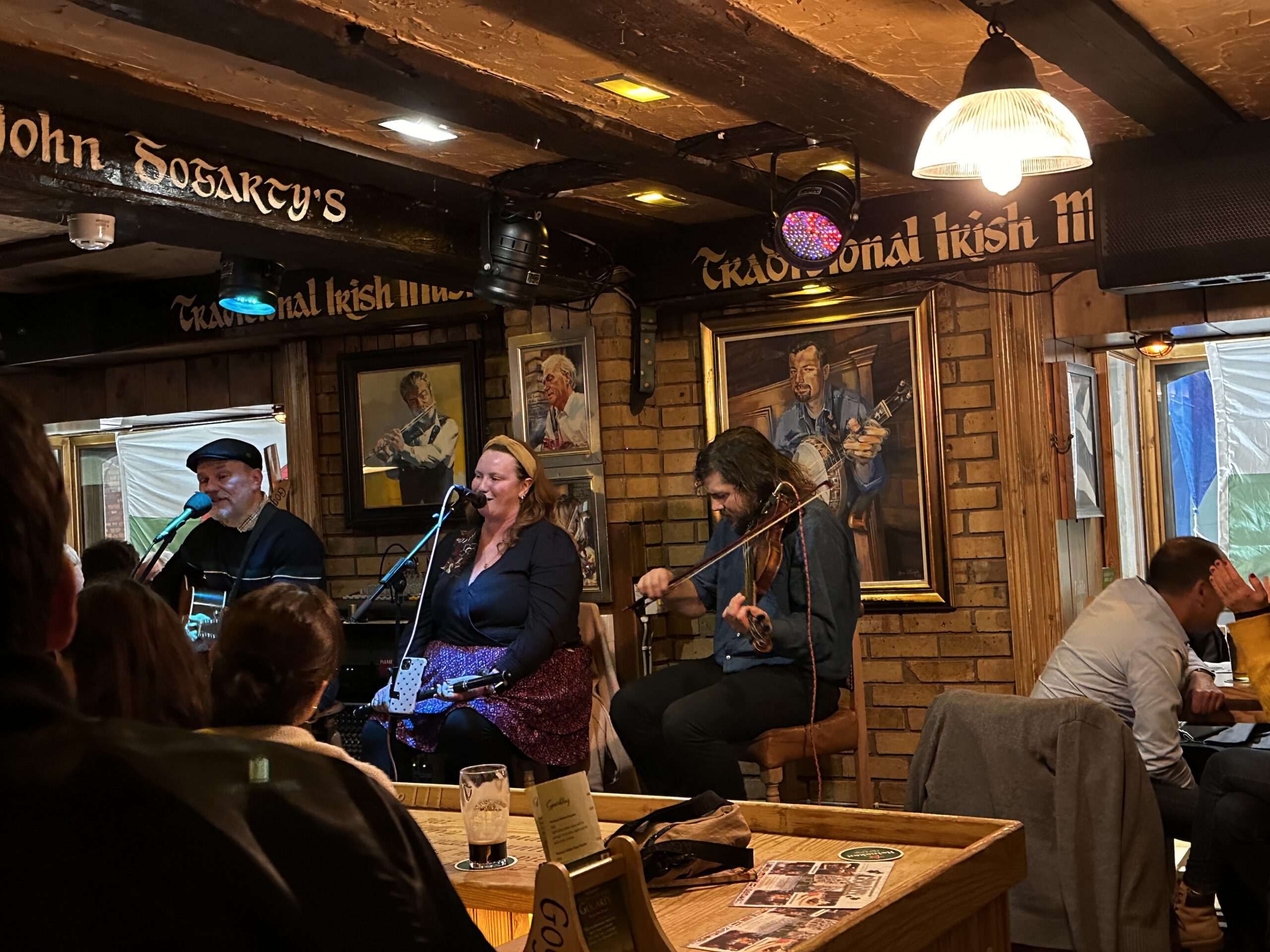
The team also took in the sites (that’s the Long Room of Trinity College Library, established 1592, where the beautiful medieval manuscript The Book of Kells resides) and some great music. We heard, in their native land, some of the Irish songs Jim’s band, Nuthatch, plays, too.
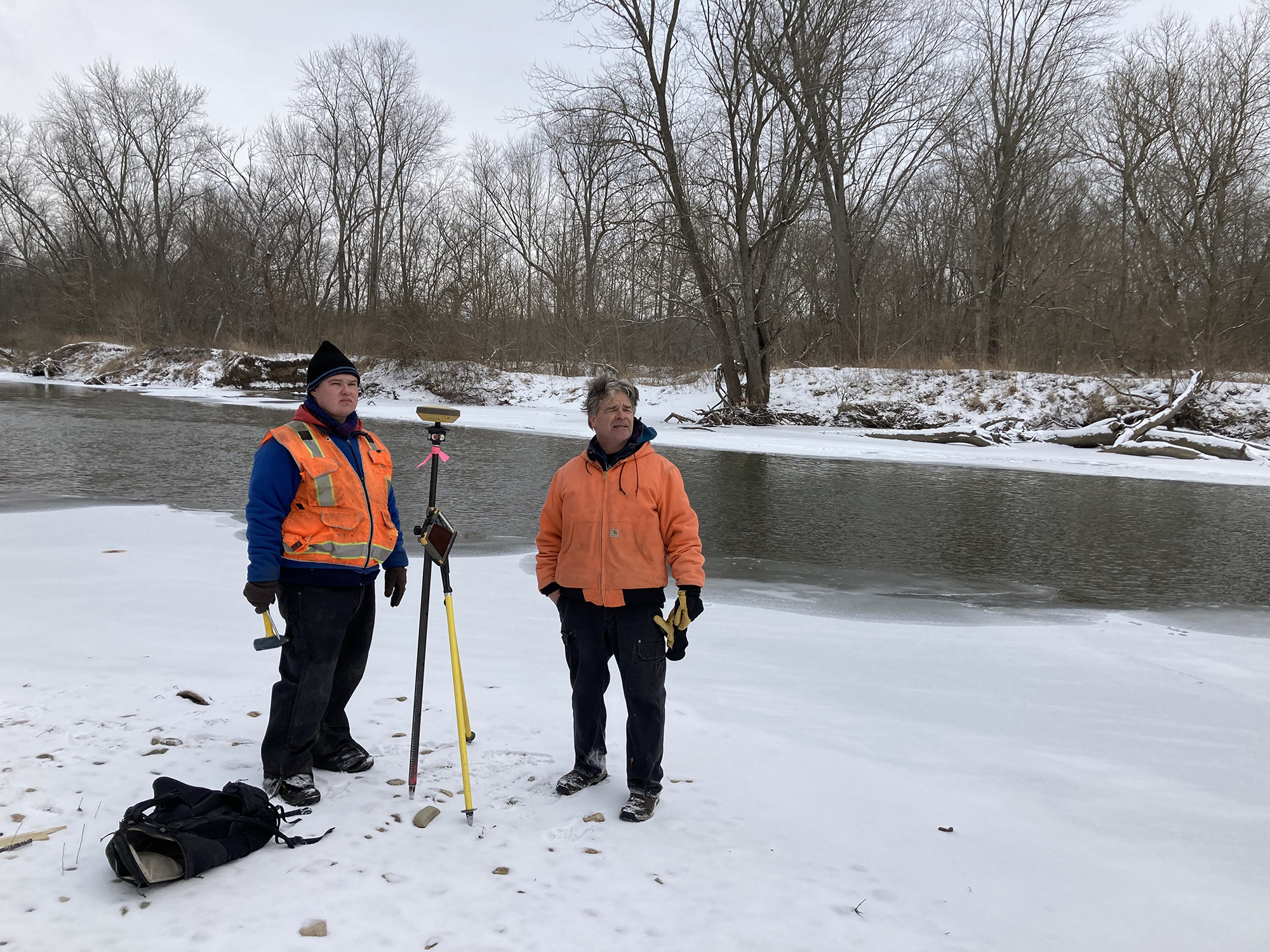
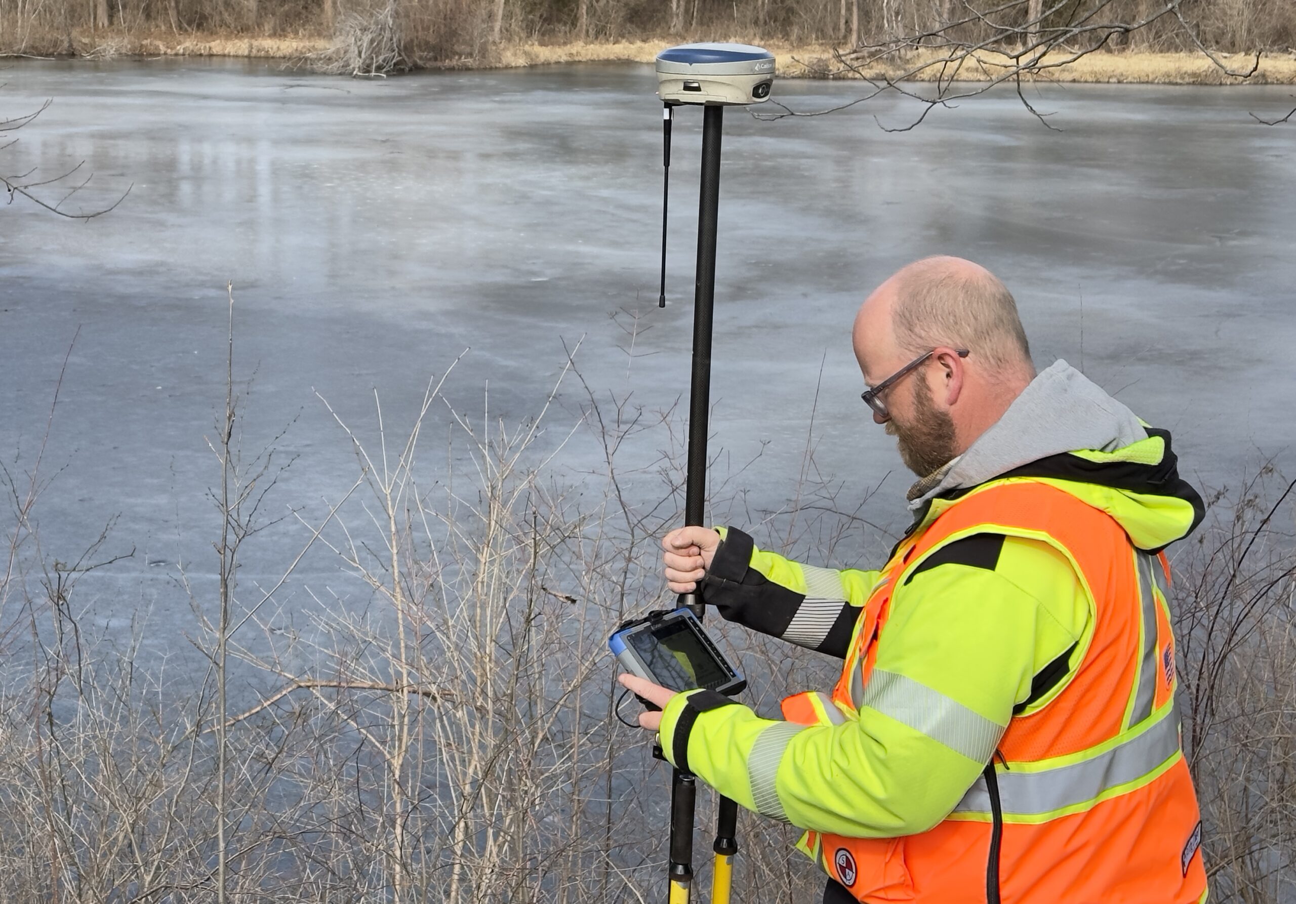
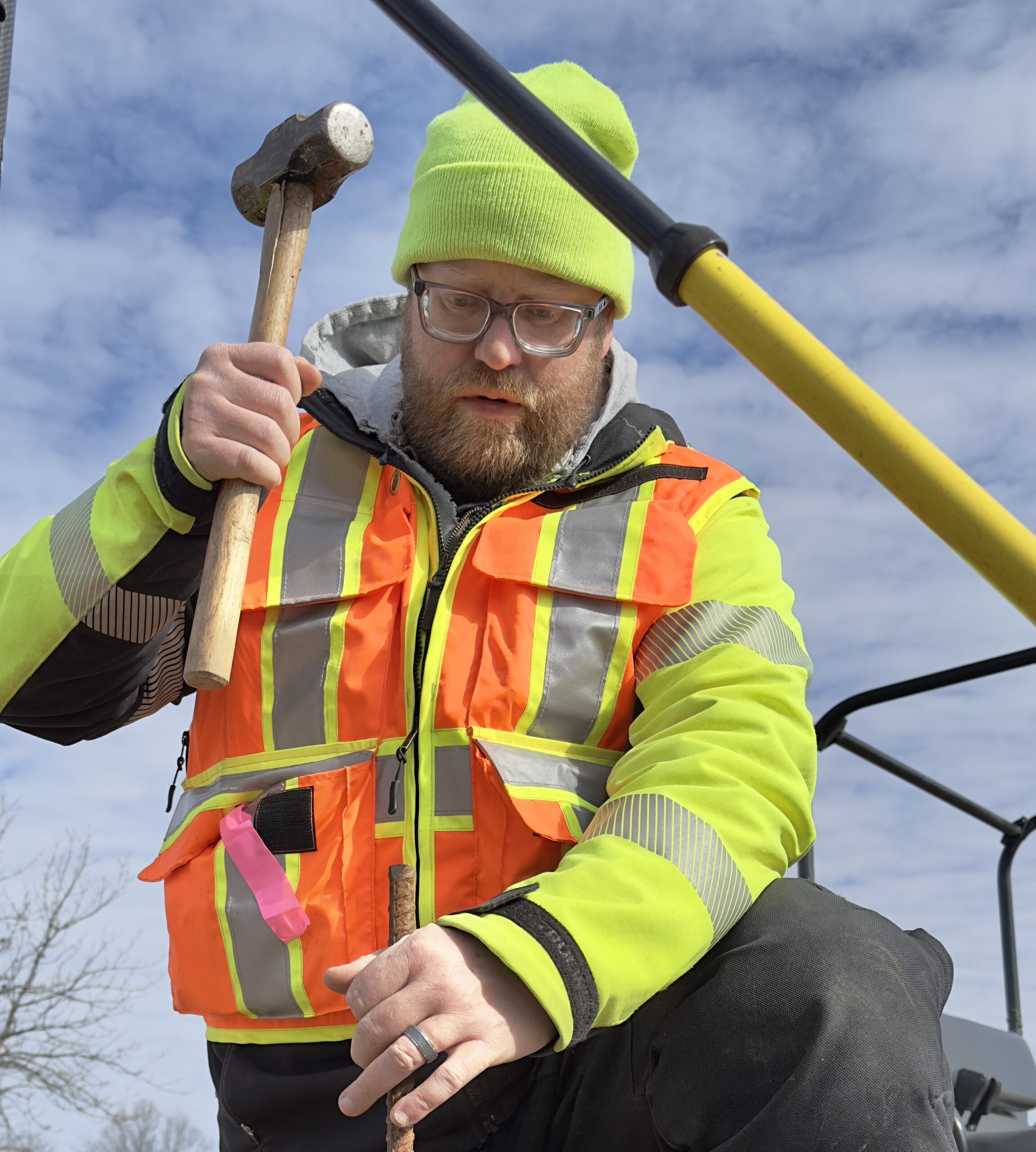
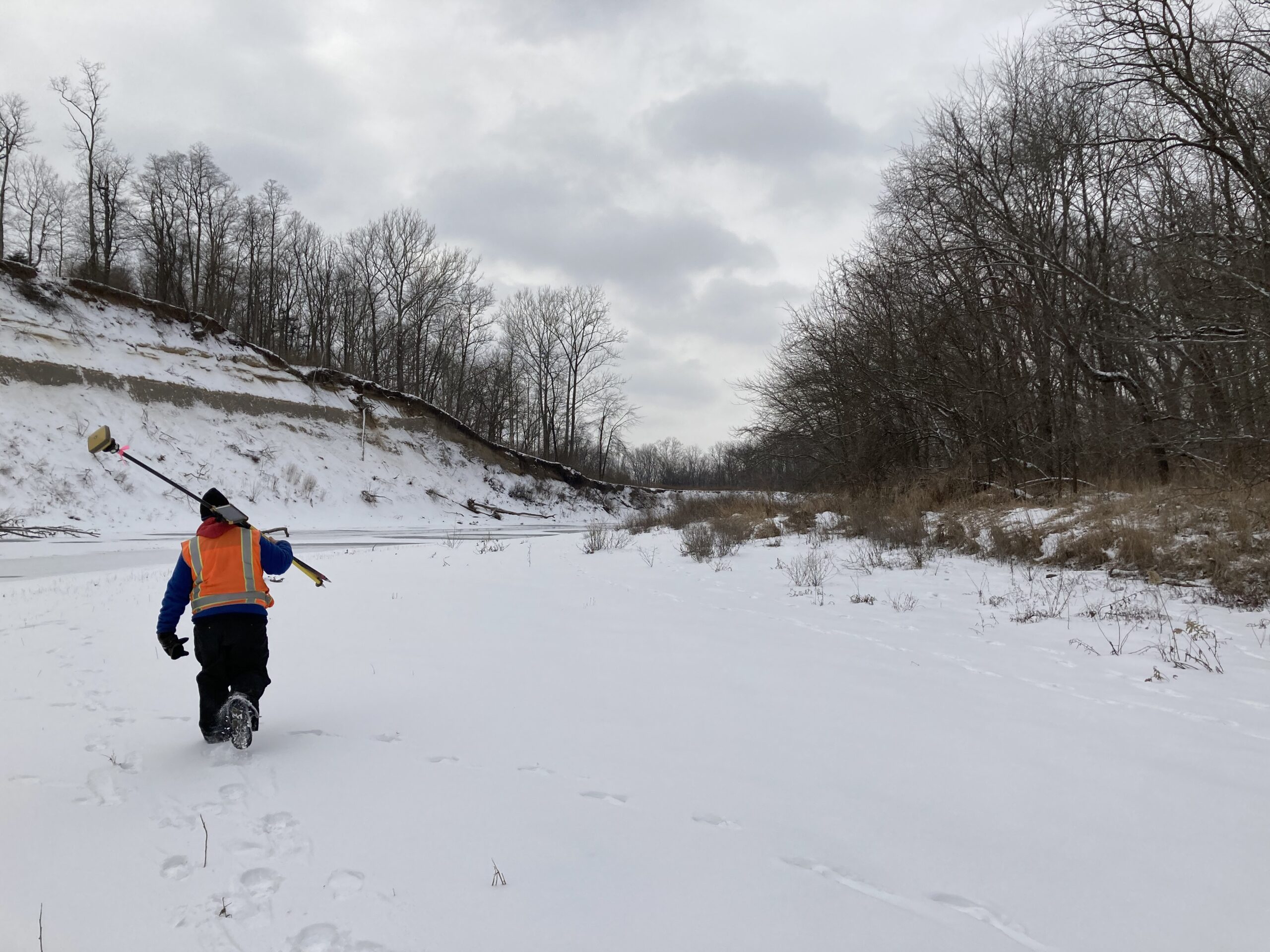
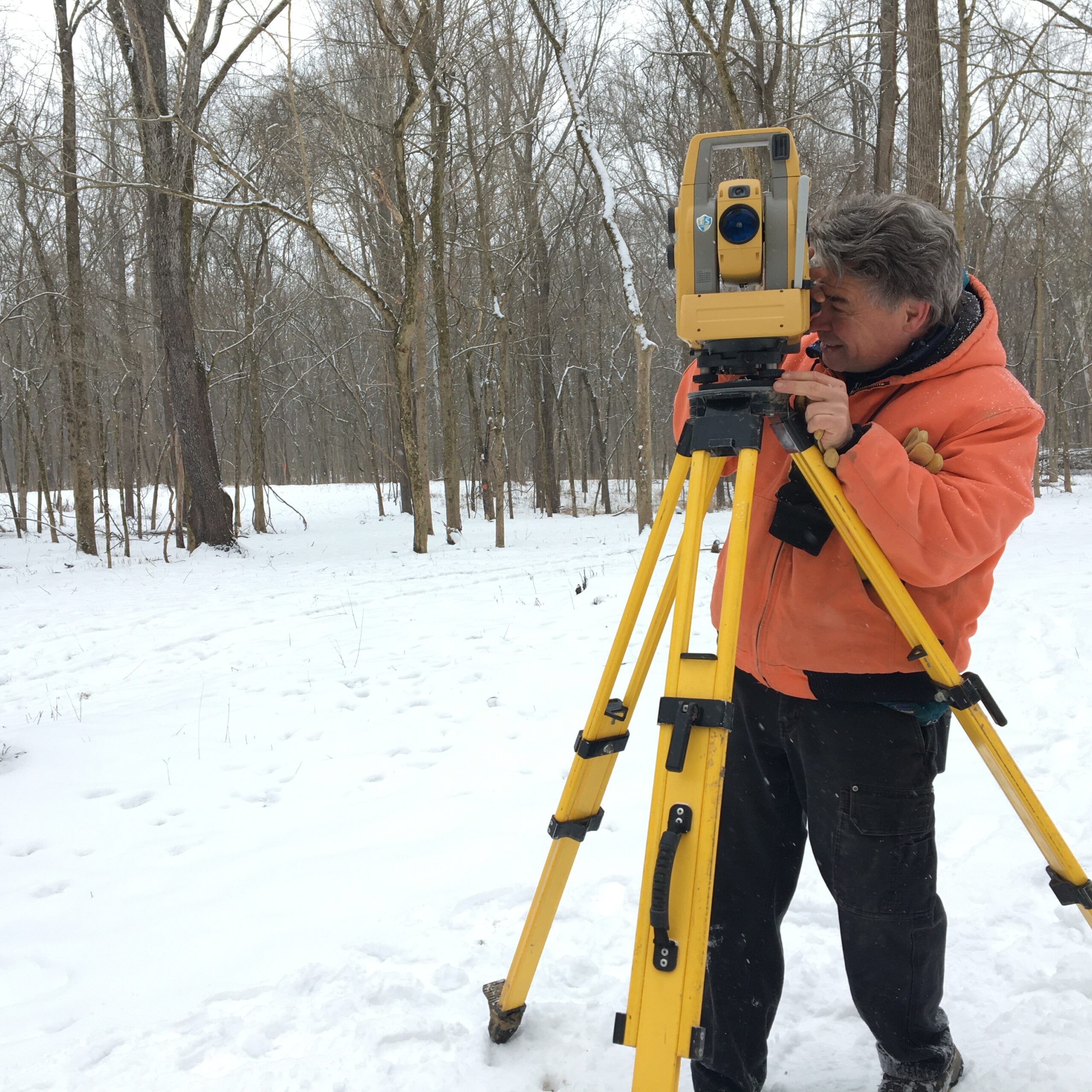
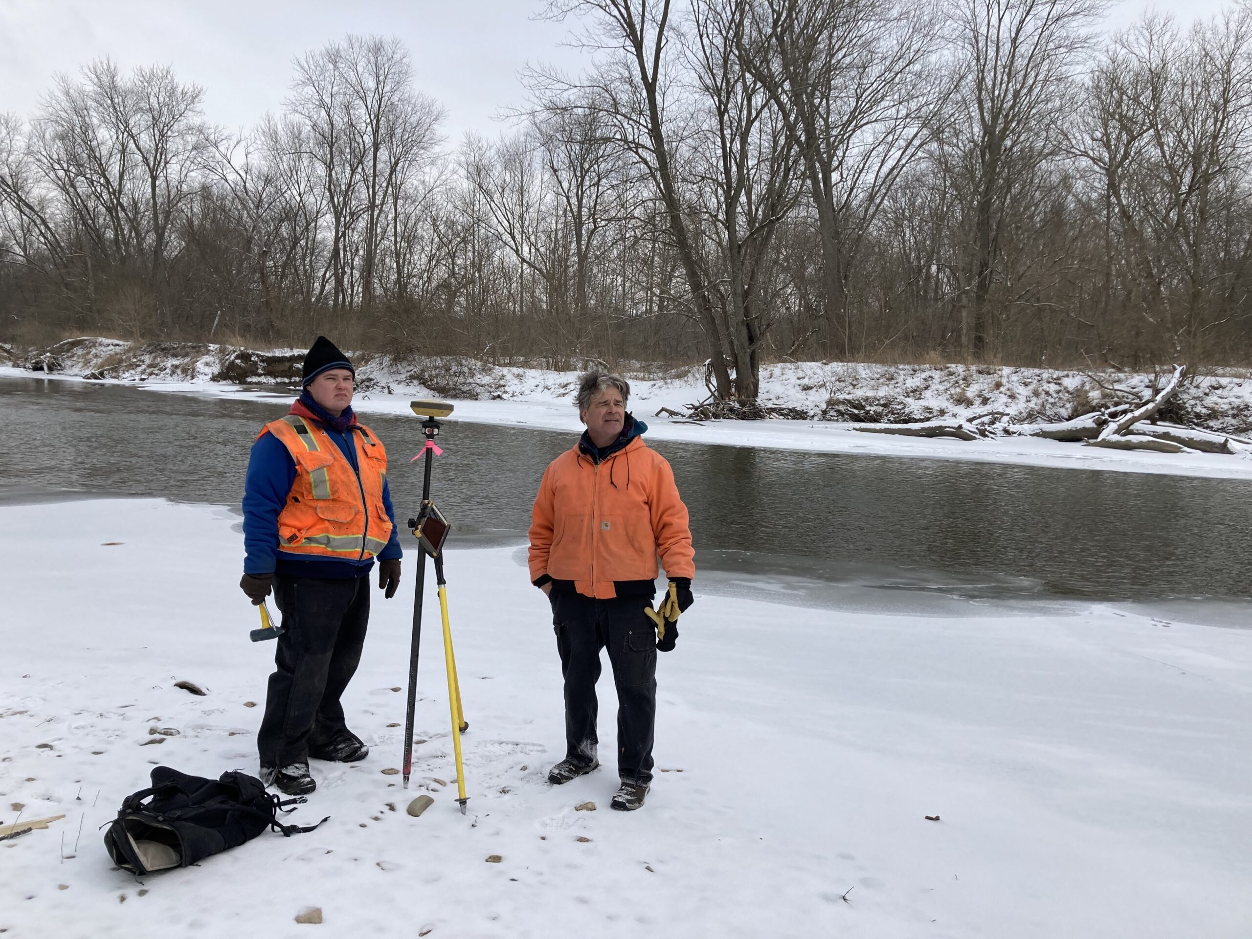
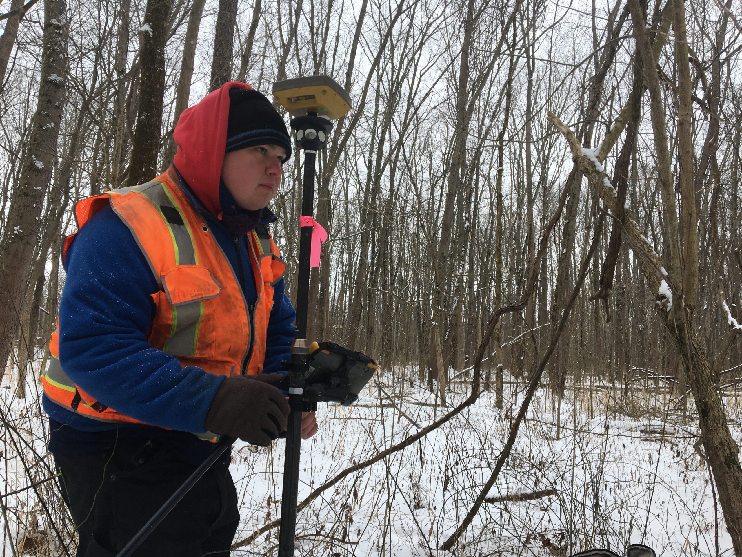
No Snow Days
You gotta be game if you’re staking out a job in 16 degrees with a few inches of snow on the ground!
Henry and Jim spent the day carrying the GPS/data collector and “the robot” over 20 plus acres, setting rebars to mark the property corners. A late afternoon sun, a flock of geese in the distance and a flock of sandhill cranes high above made for a beautiful if chilly day.