
ALTA Survey
An ALTA Survey is a specialized Boundary Survey of a property that adheres to strict standards developed by the American Land Title Association (ALTA) and the National Society of Professional Surveyors (NSPS). An essential part of any legal ownership of land, the boundaries of a property must be properly and professionally delineated, making note of any easements or public right-of-way, or any other addition to or deletion from the property throughout the course of the parcel’s history. Clearly defining the boundaries of a property prevents any dispute over where one parcel ends and another begins.

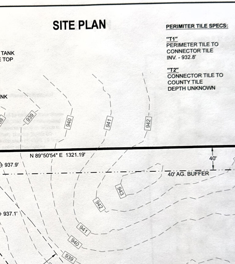
Topographic Survey
A topographic survey is a detailed map of a parcel of land that shows the elevation and location of both natural and man-made features, like buildings, trees, and roads. It uses contour lines to represent changes in elevation, which helps architects, engineers, and planners understand the land’s physical characteristics for development projects.
Site Layout Plan
A site layout plan is a scaled drawing that illustrates the arrangement of structures, utilities, and other features on a piece of land. It serves as a blueprint for development, ensuring all components are positioned to optimize functionality, safety, and aesthetics.